The gravity method is a passive, non-invasive geophysical technique involving the precise measurement of the Earth’s gravitational field at specific locations on the Earth’s surface.
Careful processing and imaging of these measurements provide for the detection of subtle gravity changes due to lateral variation in subsurface density. Earth scientists can therefore use gravity data to make inferences about Earth’s density structure.
The gravity method can be used to detect density variation on all scales; from microgravity surveying for natural or man-made voids, to prospect scale surveying for ore deposits, to space-borne surveying to characterise the shape of the Earth’s core.
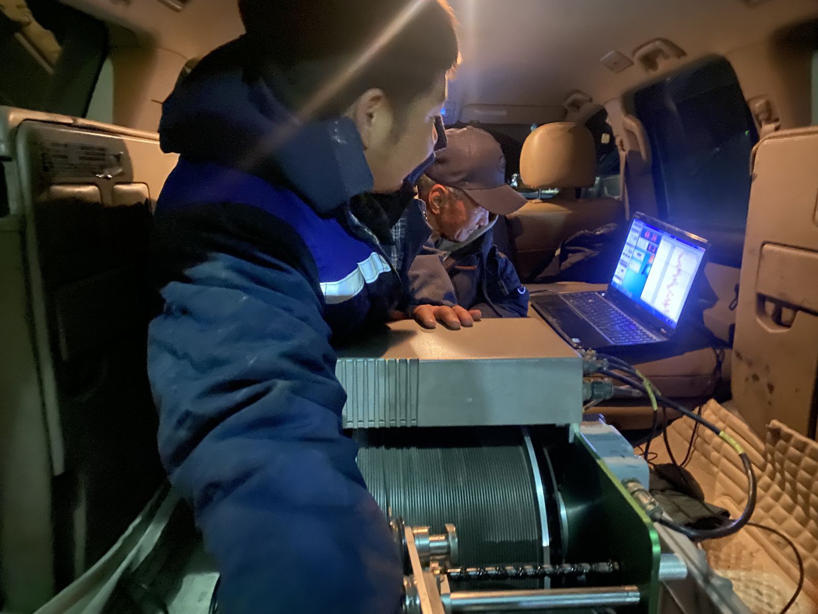
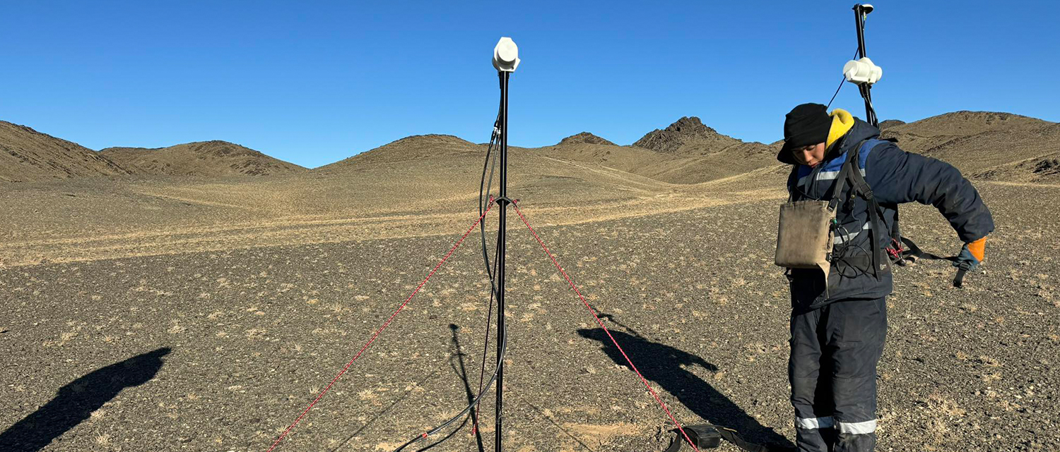
Geo engineering group LLC specialises in ground based gravity surveying from microgravity (10s of m) to regional (100s of km) scales.
Similarly to gravity surveys, the magnetic method is also passive but instead involves the precise measurements of the Earth’s magnetic field. Typically the total magnetic field and or vertical magnetic gradient is measured. Magnetism is, just like gravity, a potential field. Anomalies in the earth’s magnetic field are caused by induced or remanent magnetism. Induced magnetic anomalies are the result of secondary magnetisation induced in a ferrous body by the earth’s magnetic field. The shape, dimensions, and amplitude of an induced magnetic anomaly is a function of the orientation, geometry, size, depth, and magnetic susceptibility of the body as well as the intensity and inclination of the earth’s magnetic field in the survey area.
Geo engineering group LLC can conduct ground based magnetic surveys in any type of terrain.
We are offering you following geodetic services but not limited to the list:
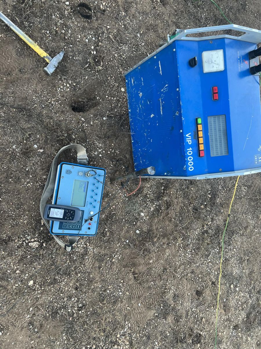
• ELECTRICAL & ELECTROMAGNETIC SURVEY
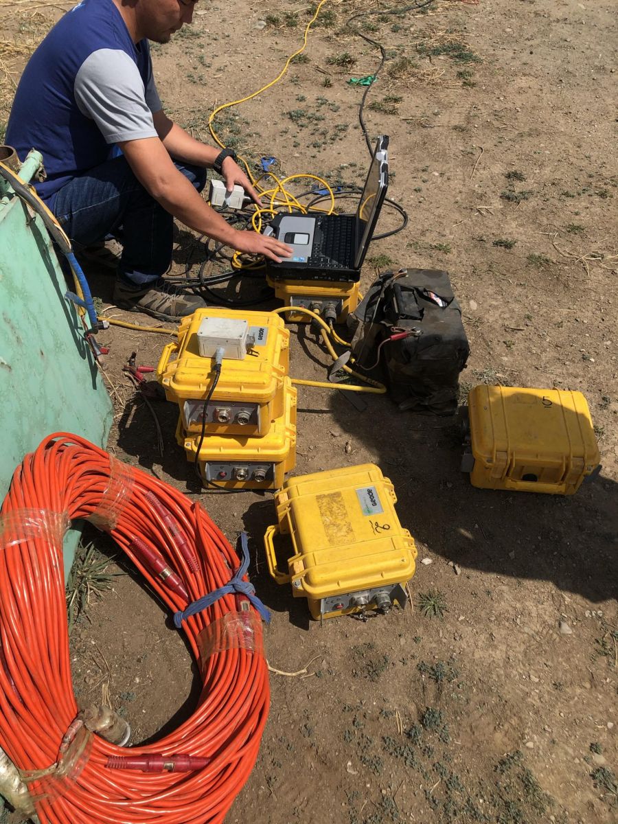
• SEISMIC SURVEY
• BOREHOLE LOGGING
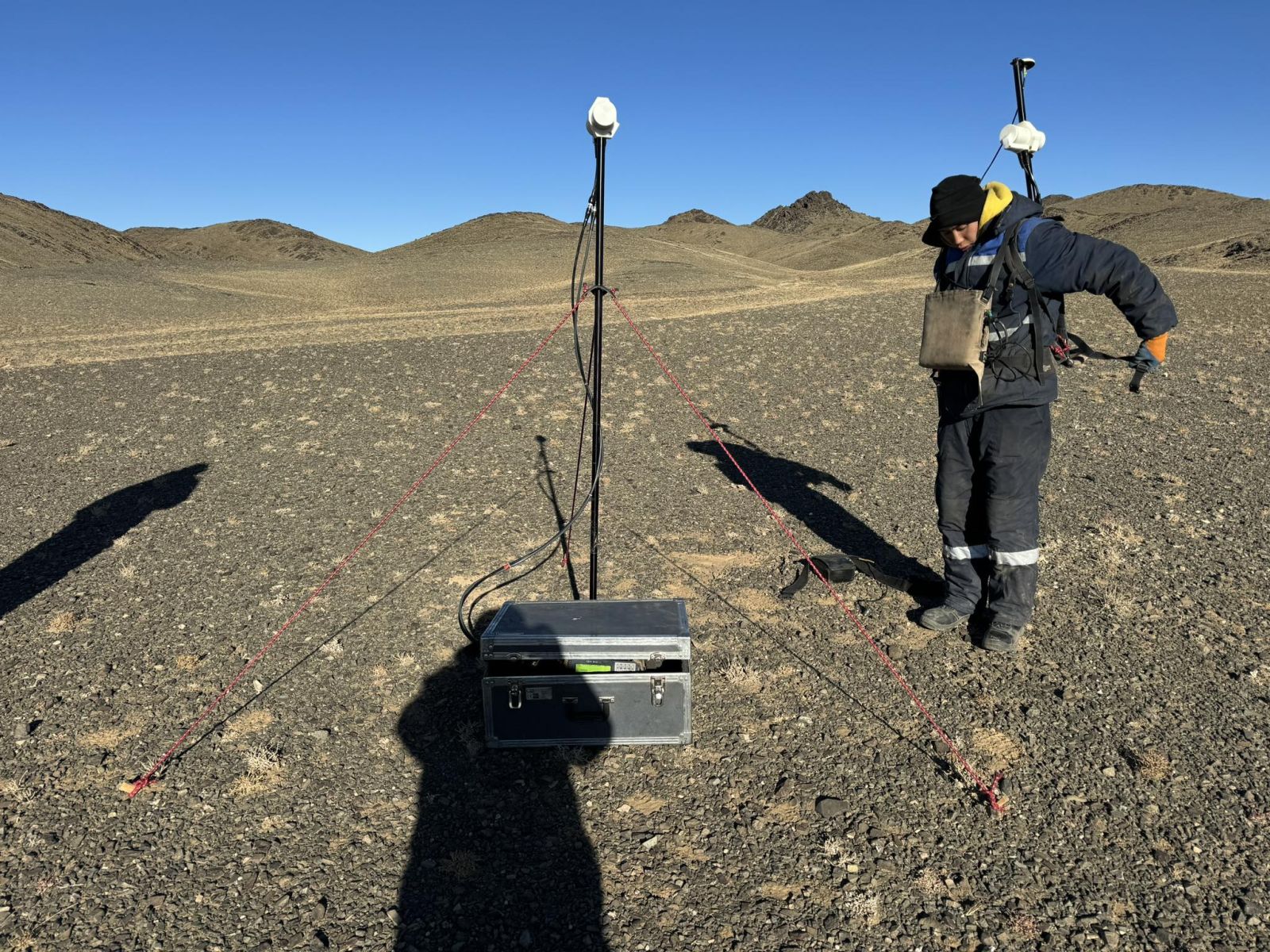
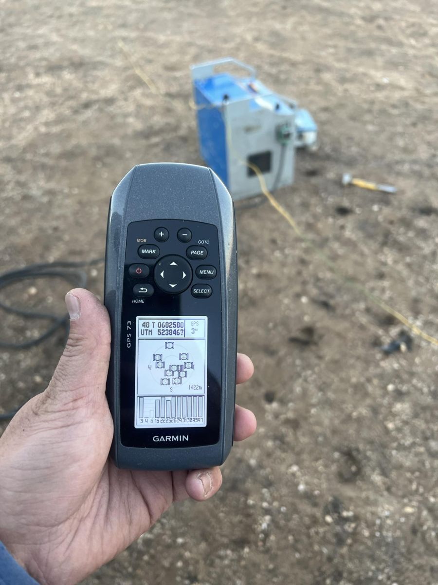
• GRAVIMETRIC SURVEY
• GROUND MAGNETIC SURVEY